Armadale Settlers’ Common
About
Armadale Settlers’ Common in Bedfordale is a 383 hectare bushland reserve, of which approximately 287 hectares is vested in the City of Armadale for the purpose of ‘parks and recreation’. The Common lies on the Darling Scarp and is within the wider Wungong Regional Park.
The area is highly important for flora conservation, with a total of 318 plant species found in the Common, along with two ‘Declared Rare and Priority Flora Species’. A diverse array of fauna and flora can be observed throughout the year.
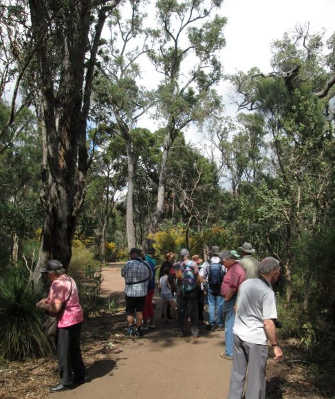
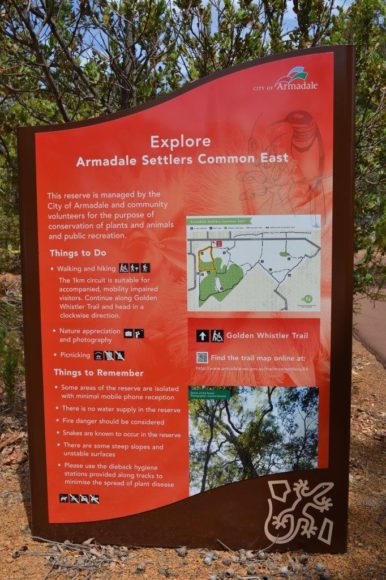
Much of the bushland is in good condition and its network of walk trails invites recreational activities such as walking and hiking, orienteering, nature appreciation, picnicking, exercising and nature photography. The Common offers expansive views of Armadale City, large areas of intact vegetation and public use facilities.
Location
The Common is bounded by Albany Highway, Canns Road and Carradine Road, Bedfordale. It is divided into 2 sections –
- Eastern block
- Western block
There are multiple access points into the Common, the eastern block having a sealed wheelchair-friendly flat and level paths and picnic shelters. The western block is much steeper, ideal for those who want a good work-out!!
Eastern Block access point – Observation Circle
Eastern Block access point – Canns Road
Western Block Access – Environmental Centre
Best Times
The Common provides a dramatic landscape of high scenic quality. Bushwalking and picnicking opportunities are provided in the park. Wheelchair-friendly paths have been constructed in selected areas of the reserve. Leaflets are available from the City of Armadale illustrating these walk tracks. The park also has good lookout places.
More Information
http://www.armadale.wa.gov.au/important-bushland